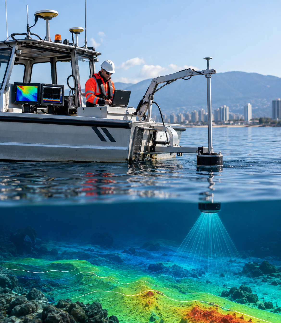
Konark Survey Engineering provides professional Hydrographic and Bathymetric Survey services to accurately measure and map underwater environments, water depths, and submerged features. Our surveys help clients understand the physical characteristics of rivers, lakes, reservoirs, coastal areas, and other water bodies for planning, design, construction, and monitoring.
Using modern surveying equipment and precise measurement techniques, we collect depth and positional data to develop detailed underwater profiles and bathymetric information. Hydrographic surveys can help identify changes in water depth, submerged structures, channels, shoals, and other relevant underwater features, subject to site conditions.
Our survey data can support marine construction, dredging projects, bridge and infrastructure development, reservoir management, shoreline works, and other water-related projects. We focus on providing accurate and organized survey information suitable for engineering and planning requirements.
Konark Survey Engineering delivers dependable hydrographic and bathymetric survey solutions to help engineers, contractors, developers, and project teams make informed decisions about underwater conditions.