Established in 2008, Konark Survey is a Delhi-based surveying service provider offering professional surveying and mapping solutions for construction, infrastructure, engineering, and development projects.
With a combination of experienced engineers and surveyors, modern surveying equipment, advanced technology, and professional project management, we deliver accurate and well-presented data to support our clients’ project requirements.
Delivering Excellence Through Accuracy & Technology
Our vision is to become a preferred provider of surveying and survey consultancy services by delivering quality work through modern equipment, advanced software, innovative techniques, and experienced professionals.
We are committed to maintaining high service standards and completing projects within the stipulated timeframe.
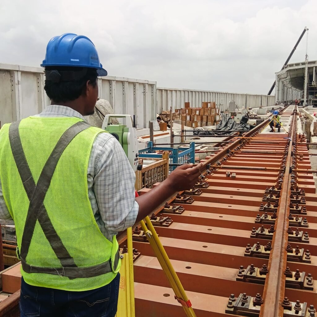
Konark Survey has established itself as a surveying agency in Delhi/NCR, with experience across major infrastructure, construction, railway, metro, defence, and development projects.
Experience You Can Rely On
Our team consists of experienced engineers, surveyors, assistant surveyors, senior surveyors, CAD professionals, and management professionals dedicated to delivering reliable project solutions.
Experienced Professionals
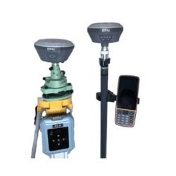
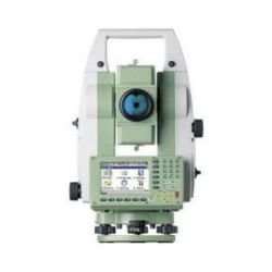
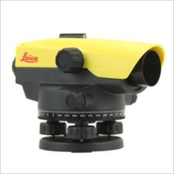
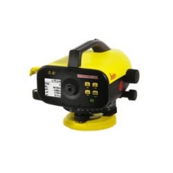
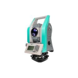
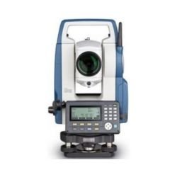
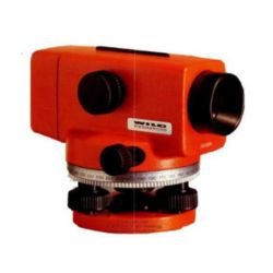
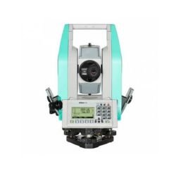
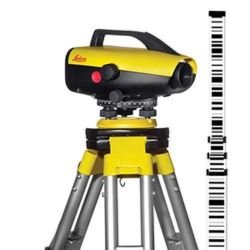
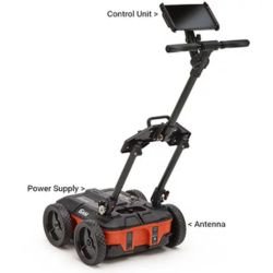
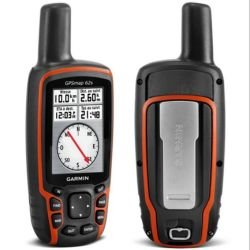
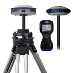
We use modern surveying equipment from established brands including Leica, Nikon, Spectra Precision, Geomax, Topcon, Sokkia, and Trimble, supporting high-accuracy surveying requirements.
Modern Equipment
Our capabilities are supported by advanced software and technology for topographical, geological, GIS, geophysical, and geotechnical surveys, including AutoCAD, ArcGIS, and Radan.
Konark Survey has established itself as a surveying agency in Delhi/NCR, with experience across major infrastructure, construction, railway, metro, defence, and development projects.
Experience You Can Rely On